Height Map Terrain
The Height map terrains inside iClone are 9 times larger, and have faster loading times than in previous versions.
With the enhanced Detail maps, you may now enjoy high quality visual performances while zooming in and out. You may find these terrain templates
in the Terrain library under the Set tab of the Content Manager.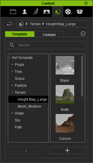
- Please refer to the Height map Terrain Creation Process page for more information about using Earth Sculptor to create a Height Map Terrain.
- If you want to create a height map terrain based on the template terrains embedded in iClone, then please refer to the sections below for more information:
The Benefits of Height Map Terrain
-
The height map terrain size is 9 times larger than the mesh terrains of iClone 4.0 or earlier.
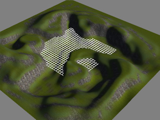

Height map terrain
Traditional mesh terrain
- It is created with multiple texture tiles instead of one big texture image, which saves a lot of memory space.
-
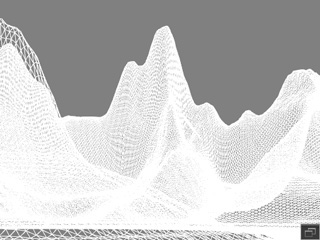
The real-time rendering performance is also better with the
LOD (Level of Detail) on.
LOD On


The details on far surfaces are rendered slightly in order to get faster real-time playback and editing.
LOD Off
All details are rendered during real-time playback, which increases the system loading capabilities.
- It is now easier to apply vegetation (grass, trees), or other features such as snap, walk, or physical collisions on terrains
-
The shadow quality has significantly improved.
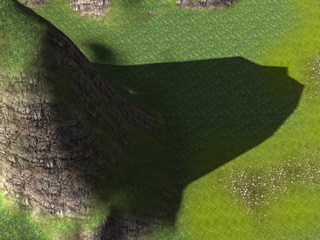
Height map terrain casts and receives more shadow details when turning on the Shadow feature.
Traditional mesh terrain - Shadows have jagged edges.
-
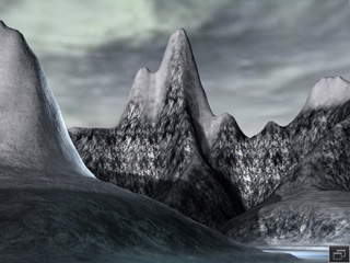
You can see exquisite texture details even in close up shots.
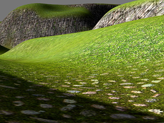

Height map terrain is applicable to any close shot without any texture artifacts.
Traditional mesh terrain - The textures appear rough during close shots.
-
It maintains perfect texture details on vertical surfaces, such as cliffs.
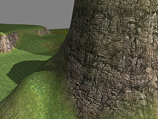
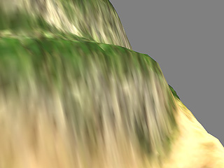
Perfect texture details on the cliff of a height map terrain.
Traditional mesh terrain - Poor texture quality on vertical surfaces.
